Στα νοτιοδυτικά της πρωτεύουσας, σε απόσταση μόλις 18 χιλιομέτρων βρίσκεται ο πανέμορφος Άγιος Ιωάννης Λευκωσίας. Πρόκειται για ένα χωριό με ειδυλλιακή και ήρεμη θέα, η οποία αναδεικνύεται σε όλο της το μεγαλείο από το ψηλό λόφο Κόρακας.
Αξίζει κανείς να ταξιδεύσει στη μαγεία της φύσης αγναντεύοντας τη θέα από το λόφο Κόρακα που βρίσκεται στα βορειανατολικά του χωριού. Από το λόφο αυτό, κοιτάζοντας προς τα δυτικά, απλώνονται οι καταπράσινες πλαγιές του Τροόδους, προς τα βόρεια, ο κατεχόμενος Πενταδάχτυλος, προς τα ανατολικά, η πρωτεύουσα, ενώ προς τα νότια «ένα τοπίο αλλόκοτο», όπως το χαρακτηρίζει ο Καρούζης, στο οποίο υπάρχουν «μικρά ρυάκια, βαθιές χαράδρες, παράξενα κοιλώματα, κωνικοί λόφοι, μικρά τραπεζοειδή οροπέδια, χίλιοι δυο άλλοι παράξενοι μορφολογικοί σχηματισμοί».
Οικισμός
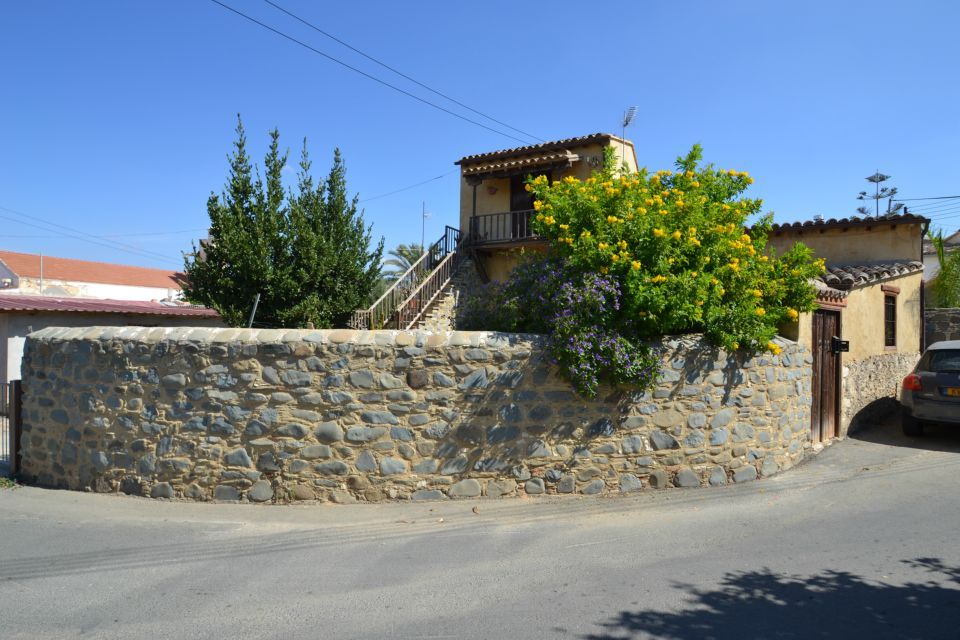
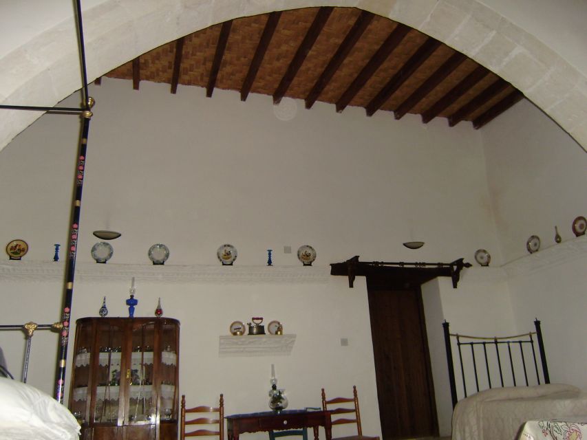
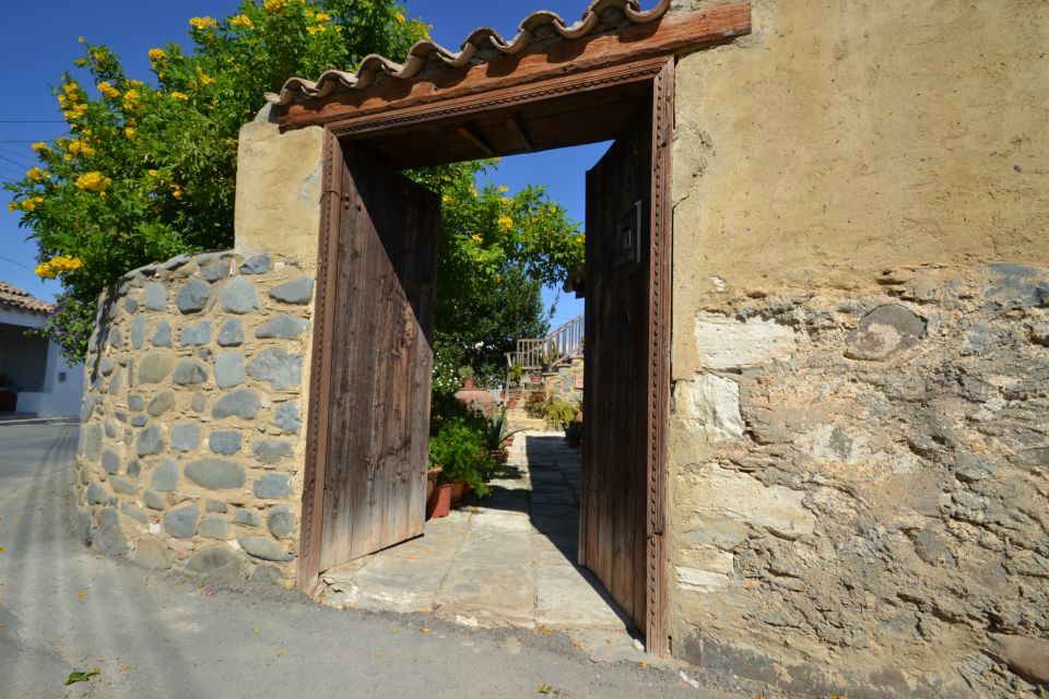
Στον Άγιο Ιωάννη Λευκωσίας, συνυπάρχουν αρμονικά το παρόν με το παρελθόν. Από τη μια, γειτονιές με σπίτια σύγχρονης αρχιτεκτονικής ενώ από την άλλη γραφικές γειτονιές με στενά ελικοειδή δρομάκια, σπίτια παραδοσιακής αρχιτεκτονικής κτισμένα από πλιθάρι και λιθάρια από τις όχθες του ποταμού καλυμμένα με αυλακωτά κεραμίδια.
Ονομασία
Το χωριό είναι σημειωμένο στους παλιούς χάρτες, σύμφωνα με τη Μεγάλη Κυπριακή Εγκυκλοπαίδεια, με το όνομα S. Jean. Με την ονομασία Άγιος Ιωάννης υπάρχουν άλλα τέσσερα χωριά. Η προσθήκη Μαλούντας μετά το όνομα του Αγίου προέρχεται από την τοποθεσία του χωριού, συγκεκριμένα, χάρη στη γειτνίαση του με το χωριό Μαλούντα.
Πληθυσμός
Το χωριό Άγιος Ιωάννης Λευκωσίας κυρίως λόγω της γεωγραφικής του θέσης παρουσιάζει μια σταθερά αυξανόμενη πληθυσμιακή πορεία. Συγκεκριμένα, πολλοί κάτοικοι αλλά και νέες οικογένειες επιλέγουν να ζήσουν στον Άγιο Ιωάννη της Μαλούντας γιατί είναι κοντά στην πρωτεύουσα αλλά μακριά από τη φασαρία της πόλης. Έτσι, οι κάτοικοι της κοινότητας απολαμβάνουν τις ευκολίες της πόλης αλλά ταυτόχρονα τη γαλήνη και την ομορφιά της κυπριακής υπαίθρου. Λόγω του βελτιωμένου οδικού δικτυού, πολλοί κάτοικοι του χωριού εργάζονται στη Λευκωσία. Συνοψίζοντας, η μικρή απόσταση από την πρωτεύουσα αλλά και το καλό οδικό δίκτυο συνέβαλαν σημαντικά στην αύξηση του πληθυσμού, αλλά και στην καταπολέμηση της αστυφιλίας. Στον πίνακα που ακολουθεί παρουσιάζεται αναλυτικά η πληθυσμιακή πορεία του χωριού.
- Χρονολογία: 1881, Πληθυσμός: 137
- Χρονολογία: 1911, Πληθυσμός: 215
- Χρονολογία: 1960, Πληθυσμός: 252
- Χρονολογία: 1982, Πληθυσμός: 337
- Χρονολογία: 2001, Πληθυσμός: 445
Εκκλησία
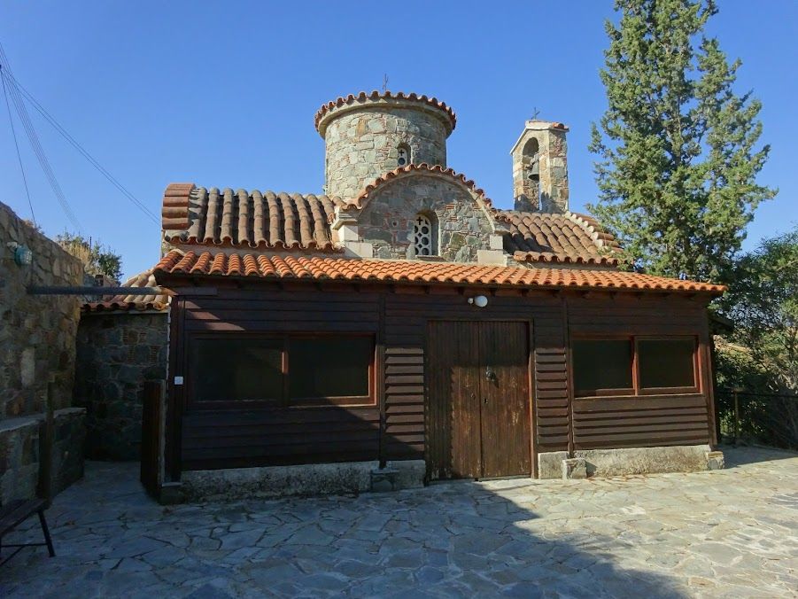
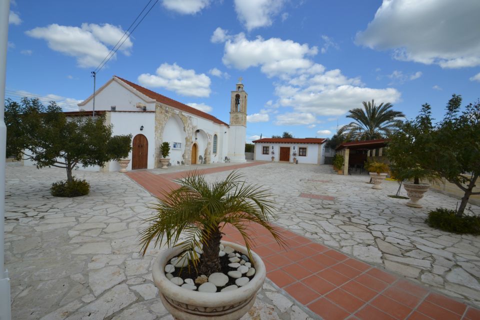
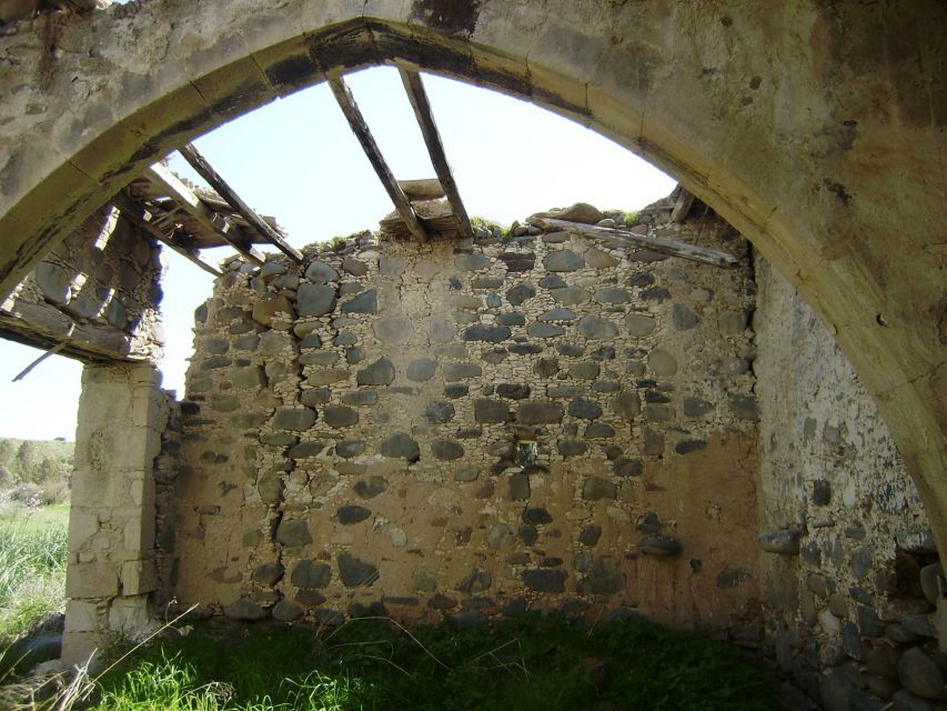
Στην καρδιά της γραφικής γειτονιάς δεσπόζει η κύρια εκκλησία του χωριού που είναι αφιερωμένη στον Άγιο Ιωάννη Πρόδρομο. Πρόκειται για μια εκκλησία του 19ου αιώνα, στην οποία αξίζει να παρατηρήσει κανείς στο εσωτερικό της μια εικόνα του Χριστού του 16ου αιώνα, ενώ στο εξωτερικό δυτικό της τμήμα την εντοιχισμένη κεφαλή λιονταριού περίπου του 14ου αιώνα.
Περιήγηση-Αξιοθέατα
Νεκρόπολη
Στα τέλη του 19ου αιώνα, συγκεκριμένα το 1883, πλησίον του χωριού ανακαλύφθηκε μια αρχαία νεκρόπολη. Σ’ αυτή ανευρέθηκαν αγγεία ελληνιστικής κεραμικής αλλά και διάφορα κοσμήματα.
Το γεφύρι
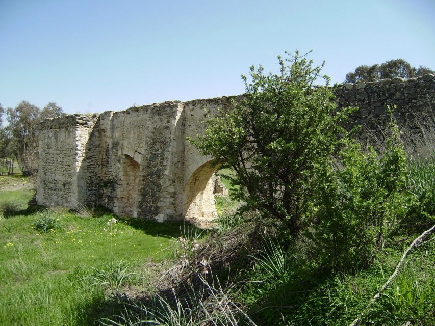
Ένα επιβλητικό γεφύρι χτίστηκε για να διευκολύνει τους κατοίκους κυρίως κατά τους χειμερινούς μήνες όταν ο ποταμός Ακακίου, παραπόταμος του Σερράχη, πλημμύριζε και χώριζε το χωριό στα δυο.
Νερόμυλος
Ο Νερόμυλος που βρίσκεται στις όχθες του ποταμού, στην τοποθεσία Βαρτάλη Αποτελεί ένα από τους χαρακτηριστικούς νερόμυλους της Κύπρου και έχει ανακηρυχθεί Μνημείο από το Τμήμα Αρχαιοτήτων. Μέχρι και το Β΄ Παγκόσμιο Πόλεμο, ο νερόμυλος λειτουργούσε και εξυπηρετούσε τους κατοίκους τόσο του χωριού όσο και των γειτονικών χωριών.
Τα λαούμια
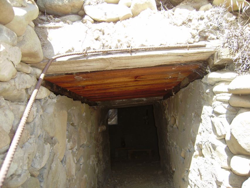
Οι κάτοικοι του χωριού για να διευκολύνουν την άρδευση των έφορων κομματιών γης, δημιούργησαν λαούμια, μ’ άλλα λόγια υπόγεια κανάλια που διευκόλυναν τη μεταφορά του νερού από τον ποταμό στα χωράφια τους. Με θαυμασμό αναφέρεται ο Καρούζης στους δημιουργούς του μεγαλεπήβολου και επίπονου αυτού έργου. Συγκεκριμένα, γράφει: «Ζουν ακόμα οι κάτοικοι του Άι Γιάννη που άνοιξαν τα λαούμια, οι ίδιοι που πίστεψαν στο νερό. Άλλωστε, στα χρόνια εκείνα δεν μπορούσε να επινοηθεί άλλος τρόπος διοχέτευσης του ποτάμιου νερού στα χωράφια τους. Τεράστιος ο μόχθος των αγροτών μας. Αυτά τα πηγάδια προϋποθέτουν γνώσεις των πετρωμάτων, προαπαιτούν κάποια υδρολογική κατάρτιση, έστω και πρακτική».